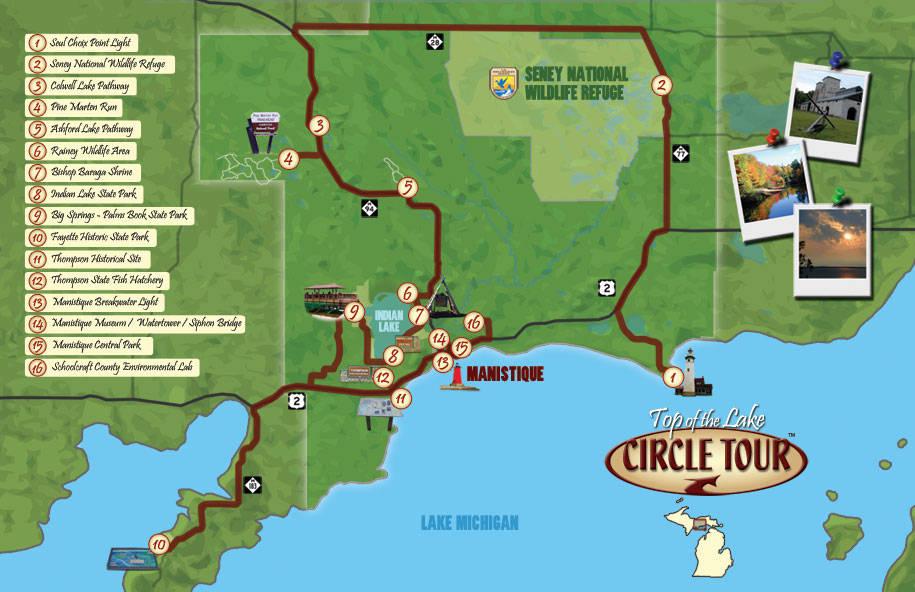
Episode: 7701 "TOP OF THE LAKE CIRCLE TOUR" Travel Planner
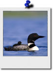
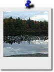
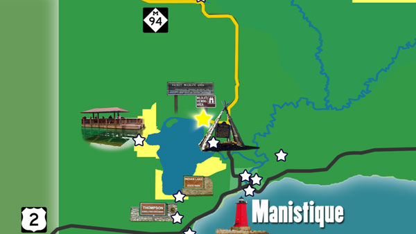
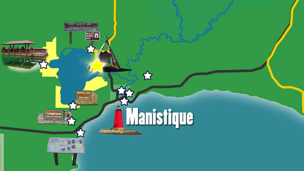
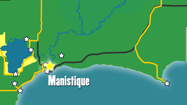
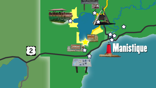
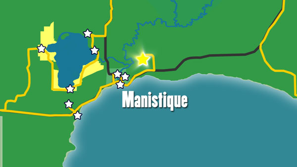
Join Host Tom O’Boyle as he takes us on a tour at the most northern edge of Lake Michigan in the place we fondly call the Upper Peninsula. Our tour will take us to Fayette historic site located on the beautiful Snail Shell Harbor and all the way around to another very historic site the Seul Choix (pronounced Sis-shwa) Point Lighthouse at the other end. In between we will be stopping at the Seney Wildlife Sanctuary, the Thompson Fish Hatchery and many more.
We have collected information and web links related to the area and combined them here with photos we took and video clips from the show in what we hope will be a helpful guide as you plan your trip. Feel free to select only one or two activities per day according to your family’s interests. For assistance or for more information, call the Manistique Tourism Council - (800) 342-4282 Have fun!
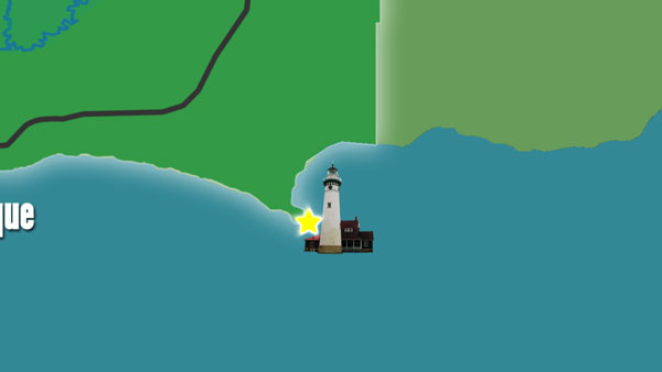
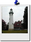
Brick light tower originally built in 1895. Tower tours are available
and visitors are welcome to enjoy the surrounding grounds, which includes a
picnic area, walking paths, and public boat launch.
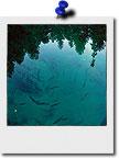
Palms Book has one of Michigan's alluring natural attractions -- Kitch-iti-kipi. Two hundred feet across, and 40-feet deep Kitch-iti-kipi is Michigan's largest freshwater spring.
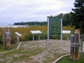
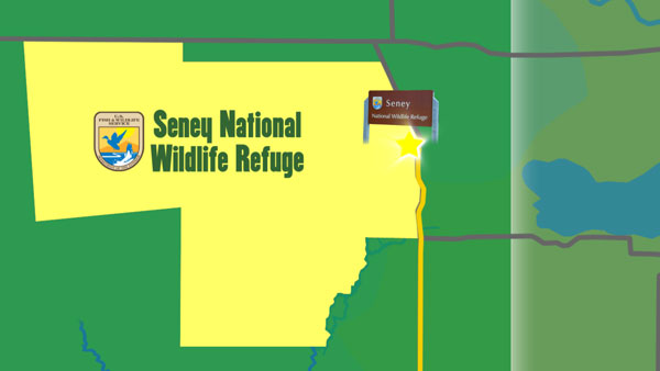
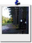
Throughout this nearly 96,000 acres of diverse habitat live a wide variety of wildlife species. Programs, guided tours and visitor center exhibits
help you learn about refuge habitats and wildlife.
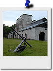
This well-preserved museum village recalls another time when it was a bustling iron smelting company town. Fayette offers visitors the unmatched serenity of a Lake Michigan harbor, white cliffs and verdant forests.
Colwell lake is 145 acres with an excellent swimming beach and boat access. Camping, fishing, picnicking and hiking are other popular recreation activities at Colwell Lake. The Colwell Lake Trail begins at the boat launch parking lot. This natural surface, nature trail is 1.6 miles long and crosses through a variety of northern hardwood stands and wetlands. The trail has several areas where stairs or plank boardwalks are traversed.
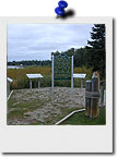
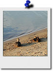
The silent stones of the dock are the final monument to the last port of call of the famous "Christmas Tree Ship", the Rouse Simmons. On November 22, 1912, she left Thompson Harbor loaded with Christmas Trees for Chicago. This site tells her story.
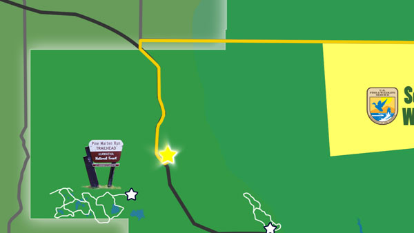
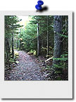
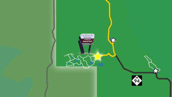
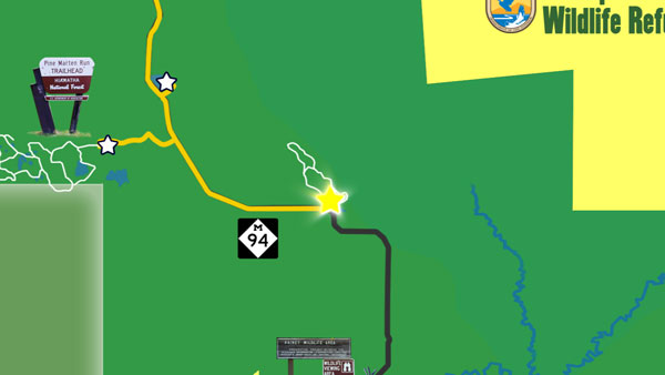
Pine Marten run is a 26 mile system of hiking and horseback riding trails located in the Ironjaw Semiprivate Area. Parking areas are available at each trailhead. And Adirondack shelters, with fire rings, have been constructed at Rim Lake, Rumble Lake and along the Indian River. Water and toilet facilities are available at the C.R. 440 trailhead, while the others only have toilet facilities
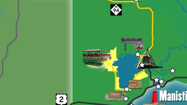
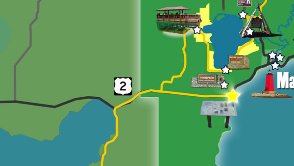
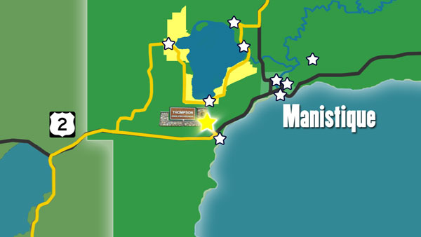
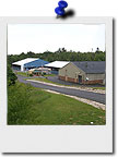
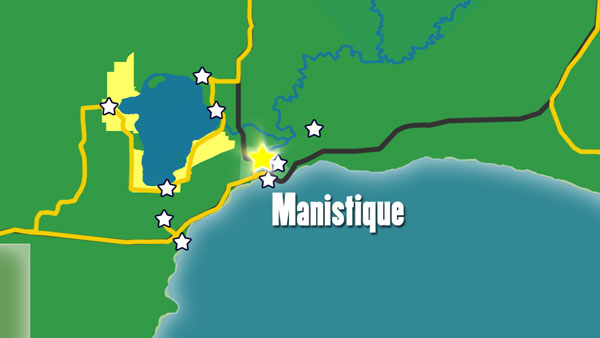
The Thompson Fish Hatchery is located about eight miles west of Manistique on County Road 149. It is one of six hatcheries operated by the Fisheries Division of the Michigan Department of Natural Resources and is open for tours. Most of the hatchery's annual production is cold water species such as brook trout, splake, brown trout, rainbow trout and chinook salmon most of which is planted in Upper Peninsula waters.
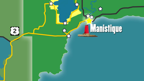
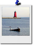
Manistique East Breakwater Light & Manistique Boardwalk
(16 miles N of Manistique, MI)
Ashford Lake Pathway is known more for its cross country skiing than its summer and fall hiking. That’s ok because that means its another secret that only a few know about.
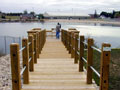
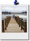
The Manistique Breakwater lighthouse is located in the harbor of Manistique, Michigan. It is listed on the National Register of Historic Places. The Boardwalk runs down the Lake Michigan shore in the town of Manistique. Go for an early morning walk or take an afternoon and picnic in the park. You can view the Manistique Lighthouse or ships passing by. It is a wonderfull way to spend a day.
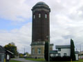
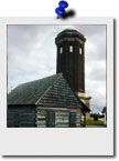
Manistique Water Tower, Schoolcraft County Museum & Siphon Bridge
(Manistique, MI)
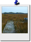
A hiking trail that passes through maple, yellow birch, and mixed conifer habitat takes hikers over boardwalks and through wet areas, leading to an elevated observation platform that provides a feeling of remoteness with outstanding opportunities for viewing wildlife.
Schoolcraft County Historical Park, Museum, and 200' tall brick Water Tower was built in 1921-22. Located on M-94 (River Street) at the Siphon Bridge in Manistique. The Water Tower is on the National and State Registrar of Historic Sites. Museum is open during the summer months. The renovated building provides space for arts related public events and public rest room facilities while preserving one of Manistique's unique and historic buildings. This eight-span girder bridge is 296 feet long overall and is an unusual design in that the bridge is an integral part of a concrete raceway flume. Since the water level in the flume is actually above the level of the roadway, the bridge acts as a siphon, thus its nickname, Siphon Bridge.
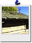
During his lifetime, Baraga founded many missions in northern Michigan. The original Indian Lake mission, the third of Baraga's faith, was built in anticipation of his first visit to the area in May of 1832. The chapel, built by local Chippewas, used traditional Indian construction methods and materials such as logs and bark.
(Manistique, MI) located next to Little Bear West Arena, 180 N. Maple St., Manistique
The 40-acre park which surrounds Manistique's quarry pond, has areas set up for a variety of summer and winter activities including a hill for sledding, an archery range, a walking and nature trail, a baseball field, basketball and tennis courts, picnic areas, swimming beach and fishing piers, with fish-stocked waters.
Indian Lake State Park
Schoolcraft County Environmental Lab
(Manistique, MI)
Indian lake State Park is located on Indian Lake, the fourth largest inland lake in the Upper Peninsula with an area of 8,400 acres. It is 6 miles long and 3 miles wide. The lake was once called M'O'Nistique Lake. According to surveyor records dated 1850, Native Americans lived in log cabins near the outlet of the Lake.
The Environmental Lab's purpose is for the environmental education of youths. The property is located within three miles of most of the county's schools and contains a wide variety of flora, fauna, topography, soils and stages of succession. Three state and federal grants, supported with local donations to match have allowed the project to develop and be successful.
Learn more about the creation, evolution and future of Manistique's Central Park in this un-aired interview with Recreation Board Chairman Michael Powers